18 April 2025
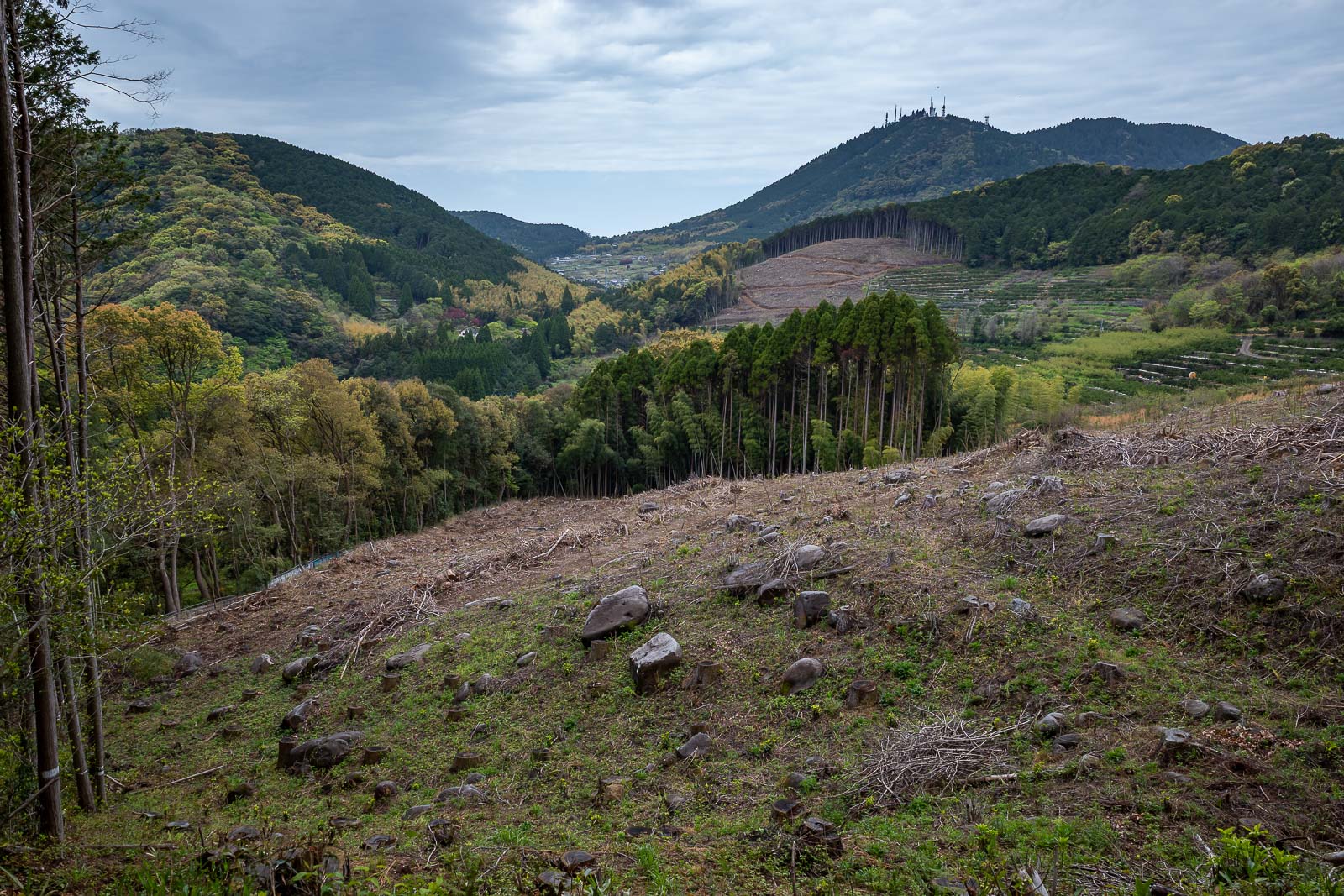
Logging and tv towers
Mount Kinbo from Kamikumamoto station
There are not a lot of mountains near Kumamoto. Most people go to Mount Aso, which is the very active volcano, however there is almost no hiking allowed, it is often closed if the wind is blowing in the wrong direction, and it is best visited by car as most public transport options no longer exist.
Instead I decided to plot a long couse up the very close and not very high Mount Kinbo.
If you research this mountain, you will see that it is known as either Kinbozan (with a z) or Kinpozan, but you will mainly find that the 1887 Kinbozan earthquake was named after it. This was an unusual earthquake that occurred due to a failed volcanic eruption of Mount Kinbo.
And on that note, time for the stats -
32k steps
20.45km - mix of trail and road today
770m vertical ascent
1,298 calories burned - it was hot on the way down
5 hours 47 minutes
So a bit longer than I expected.
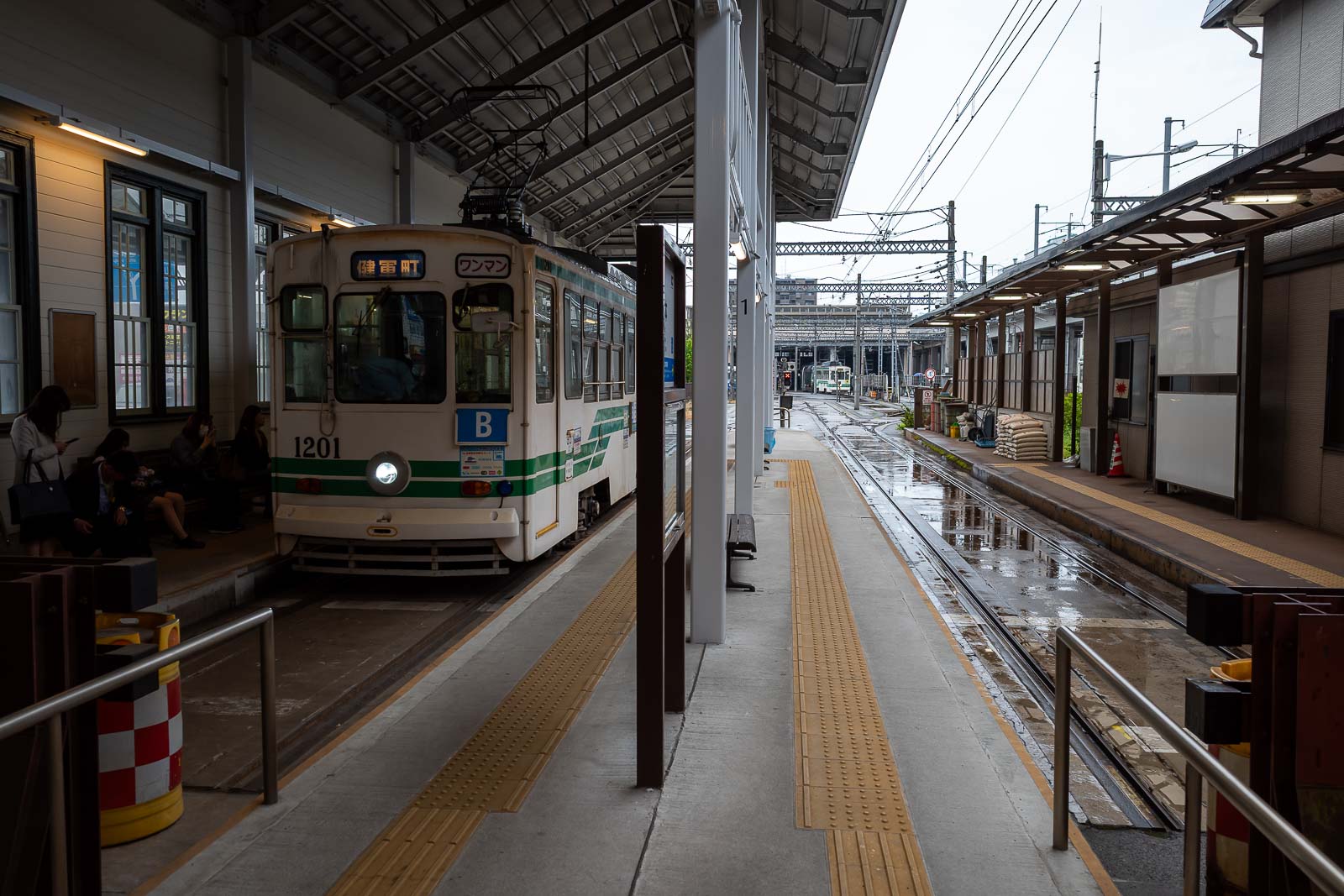
My hike started at the last tram stop on the blue line, which is also Kamikumamoto train station. Convenience stores nearby. It was raining, which was unexpected.
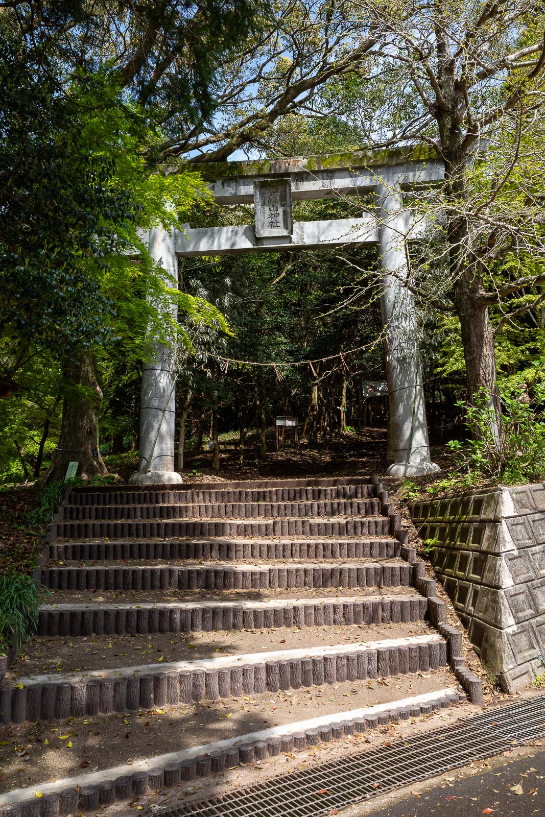
Just a short walk up the street and you get to the start of the shrines.
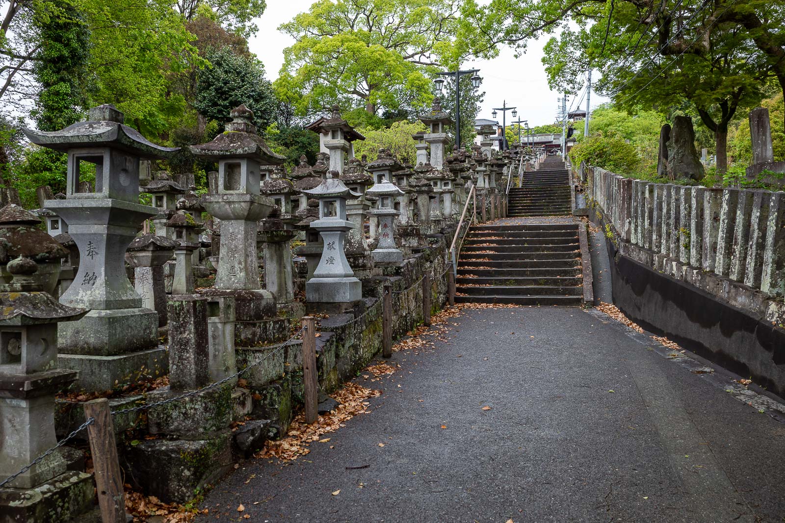
It was not raining enough for me to get wet, but it did make for dark shots for a while, here is the first of a few staircases.
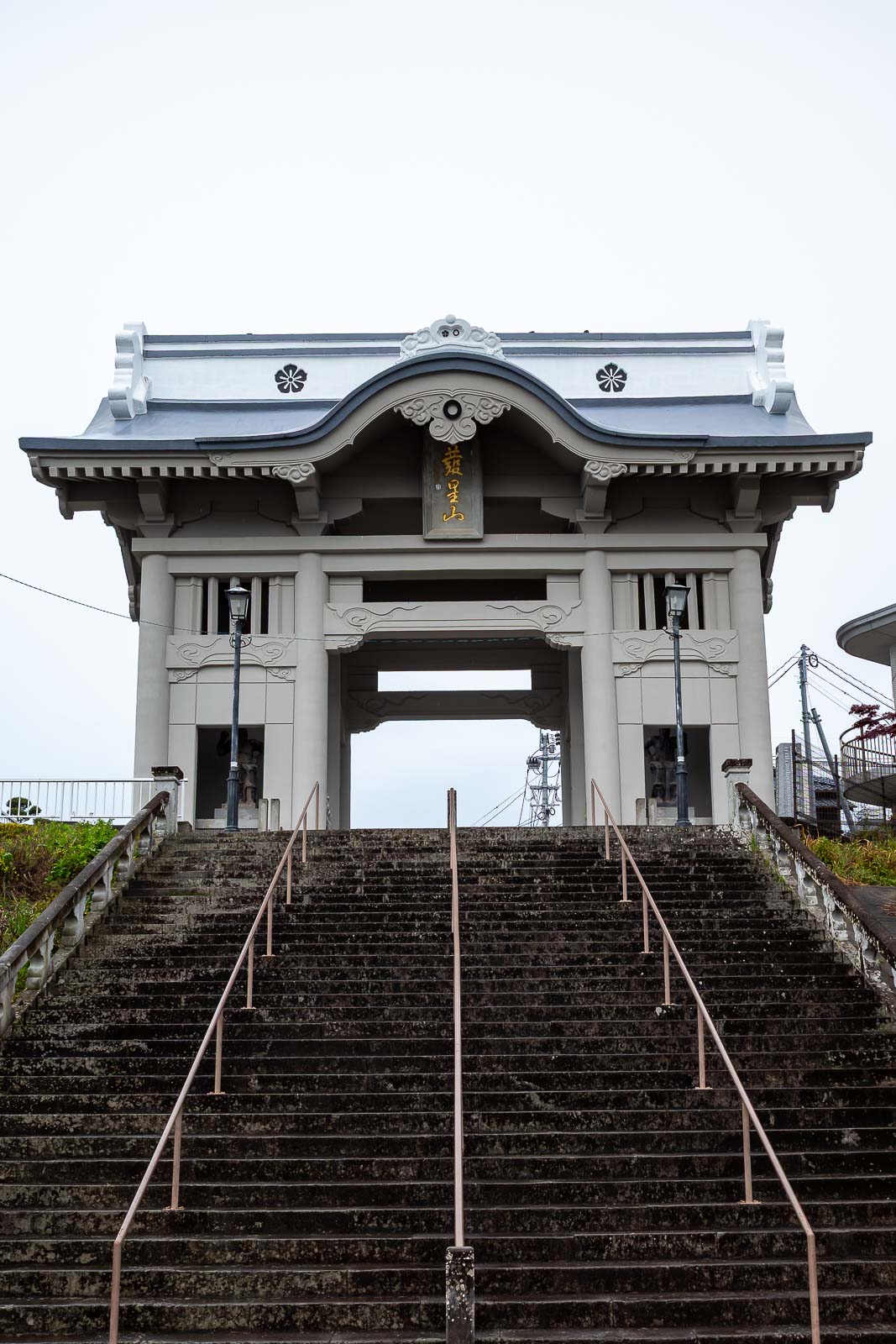
The top shrine was a bit of a hike (sic).
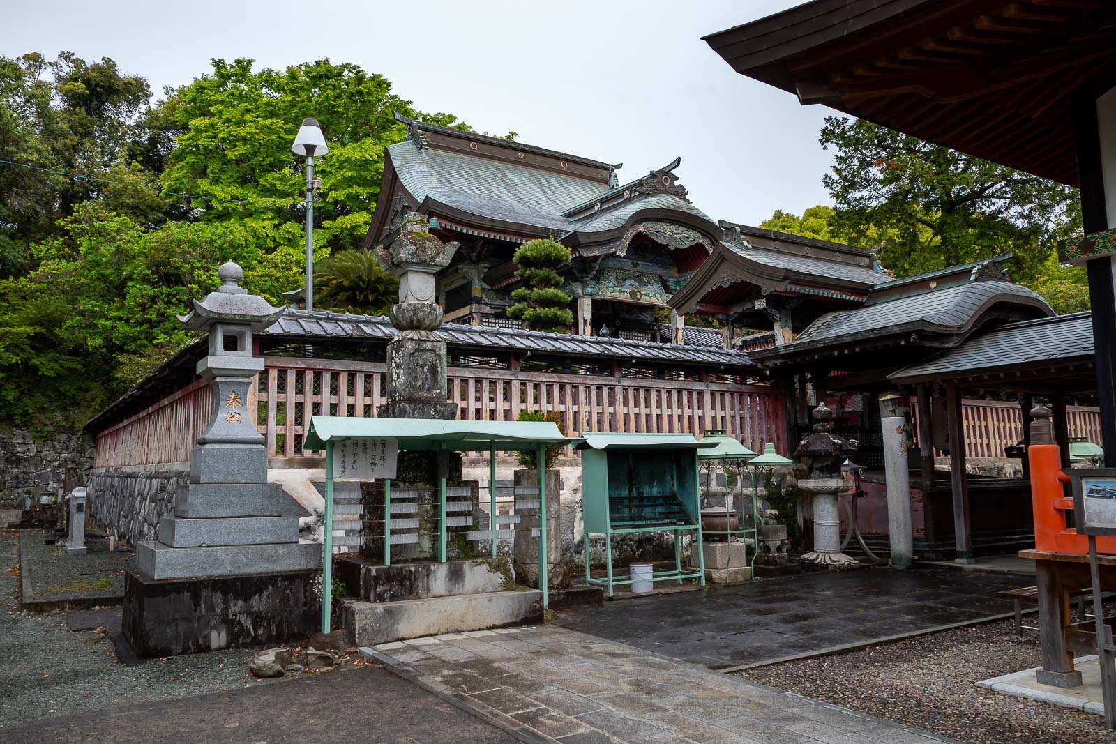
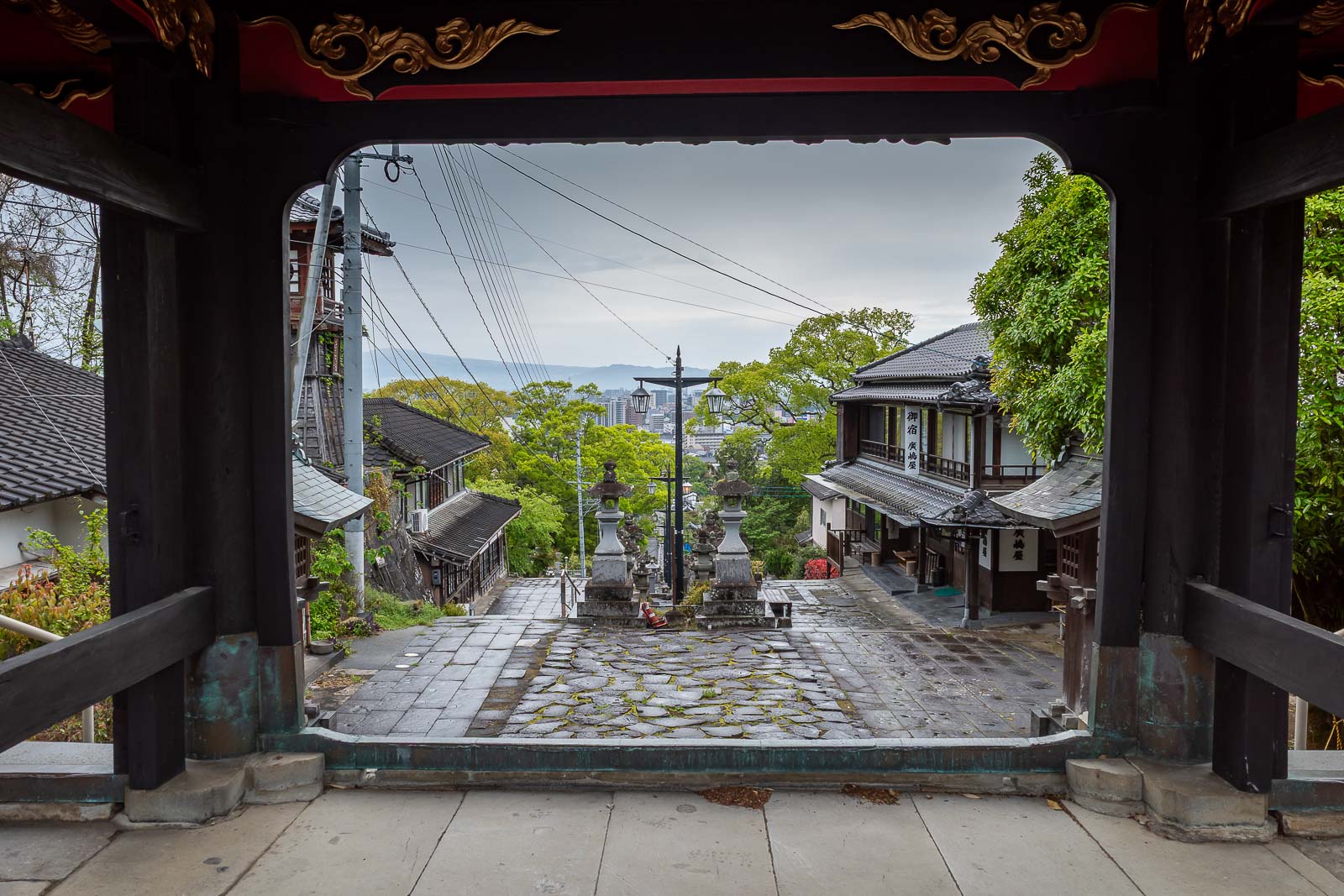
I think this one is really old as it seems to be fully closed off, with a newer much less interesting shrine in front of it.
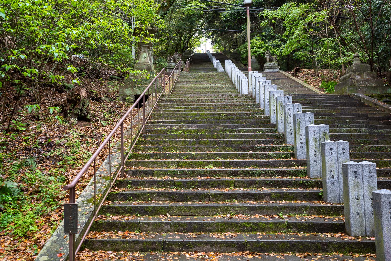
Behind the shrine, more stairs. A lot of stairs today.
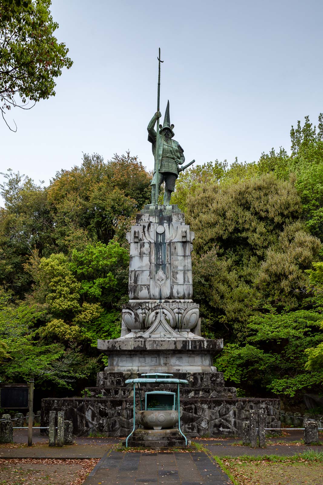
At the top of the stairs, a cool statue of Dumbledore from the Lord of the Rings movies.
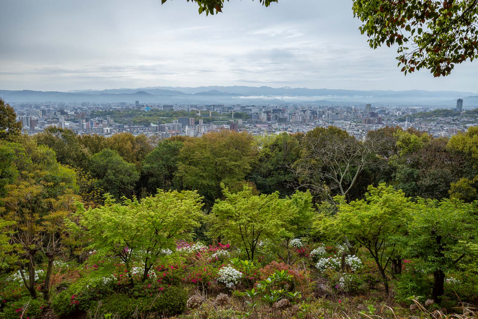
Great view of the rain going away, with flowers.
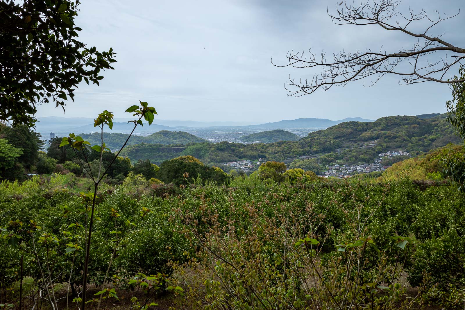
The low down views today were better than the views from the summit, this is often the case.
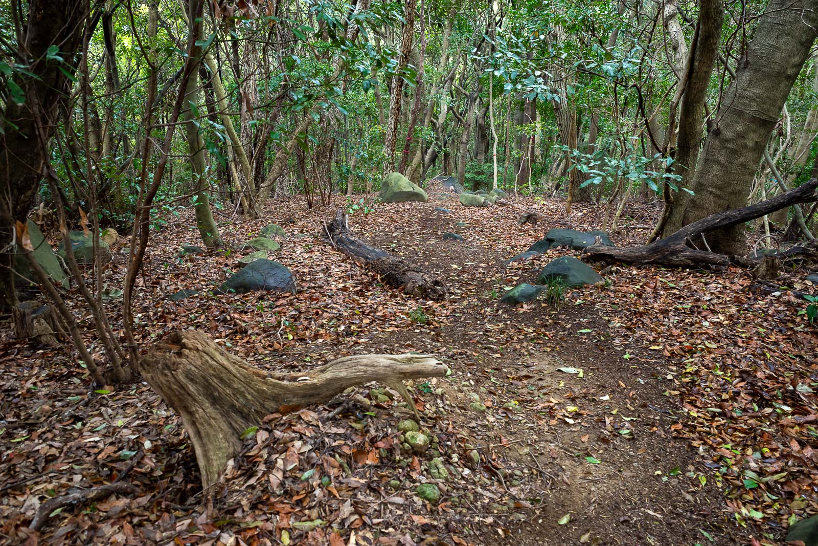
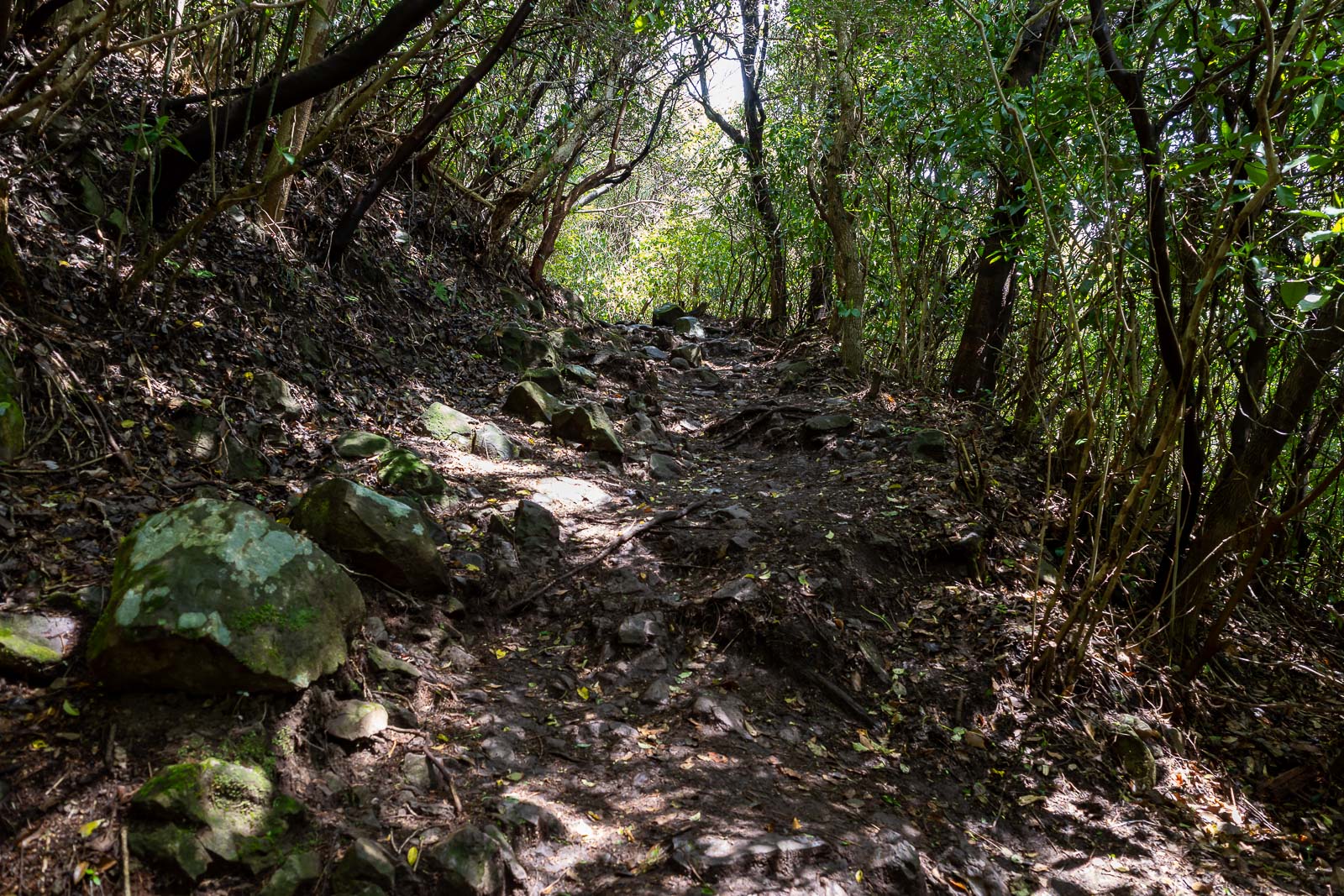
Behind the statue, a real trail, and it was hard to follow, I needed to use yamap - this hike is not on alltrails at all.
I actually took a wrong turn off the trail into some fruit trees for a bonus view, then doubled back to what they are calling a trail.
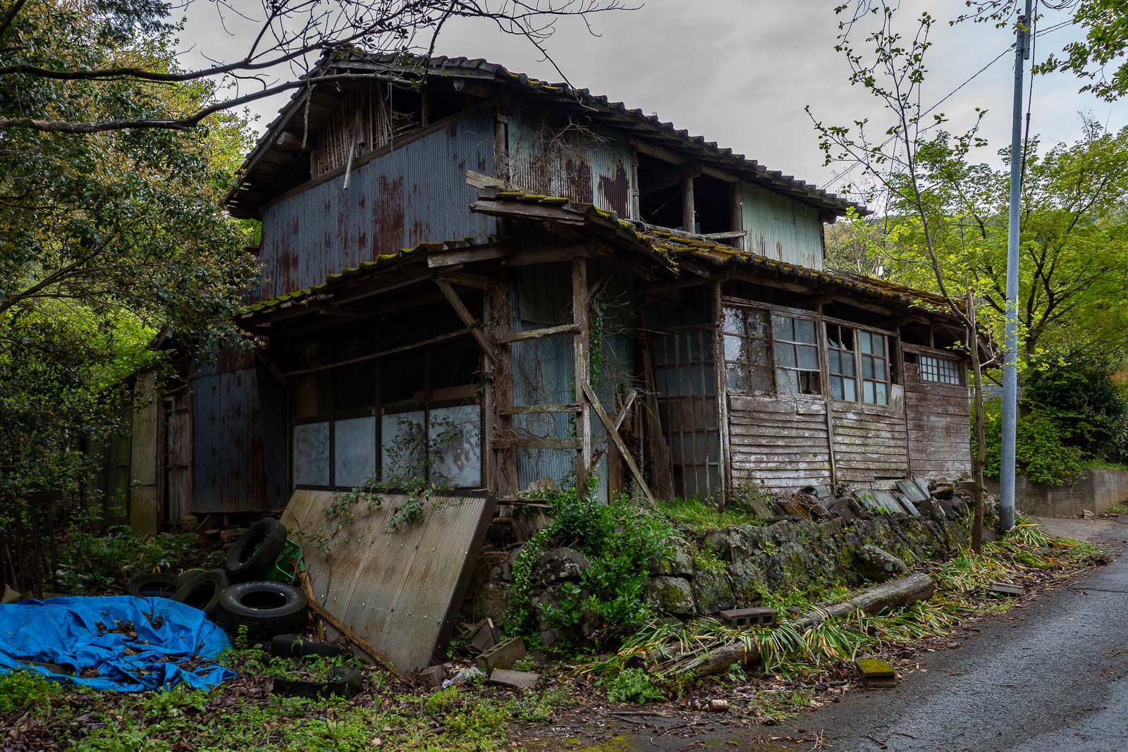
The trail crossed a few abandoned roads, with scary abandoned houses.
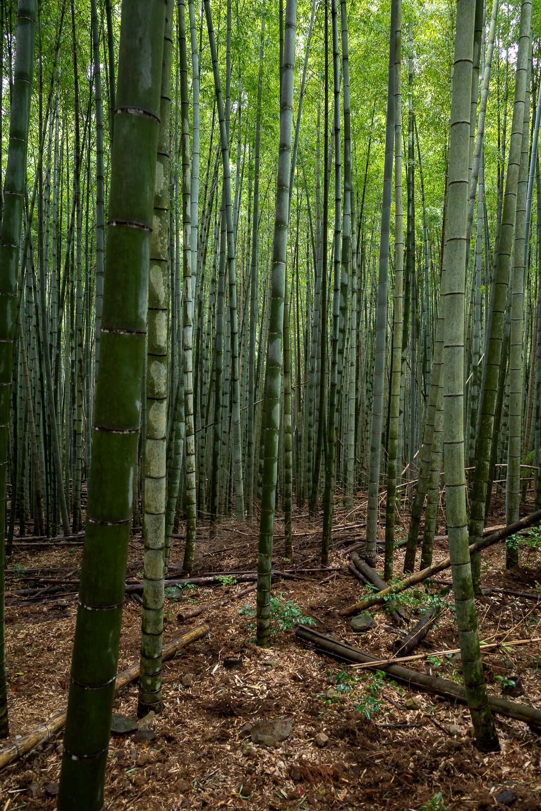
I think these are bamboo plantations, presumably to send to Hong Kong to use as scaffolding.
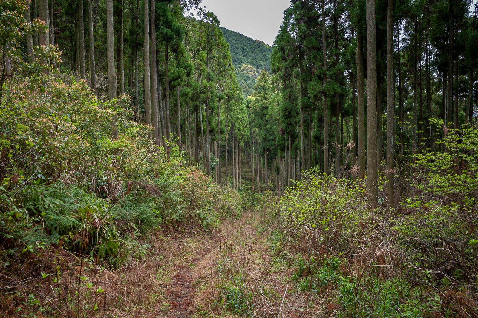
Now I entered the extensive forestry area.
A lot of forestry was going on, the trail detoured around some of it.
Eventually I arrived at an upper car park, this is the start of the main trail to the top of Kinbo.
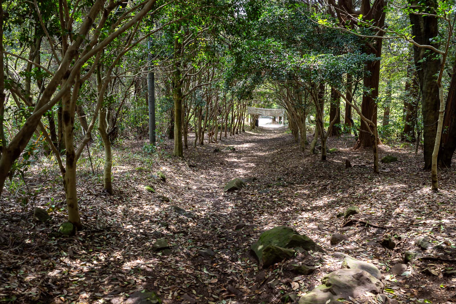
A nice trail, many switch backs, not too steep.
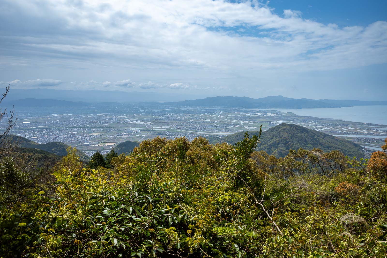
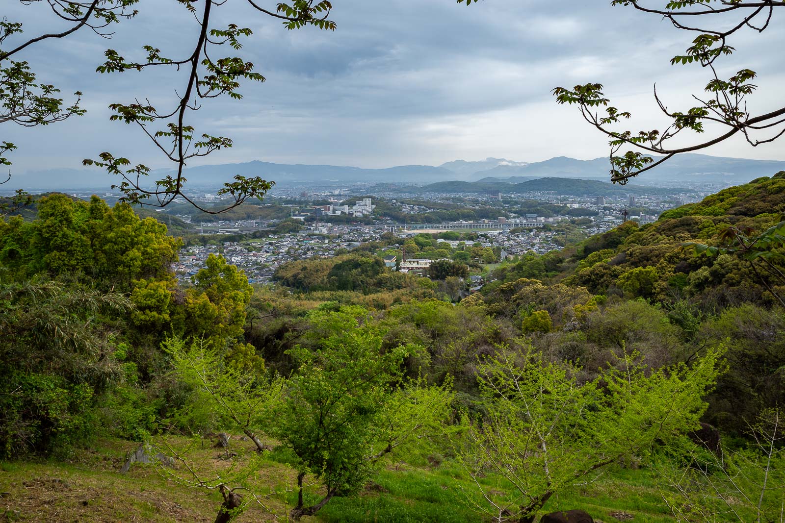
There were a couple of view spots on the way up to enjoy for 5 or 10 seconds.
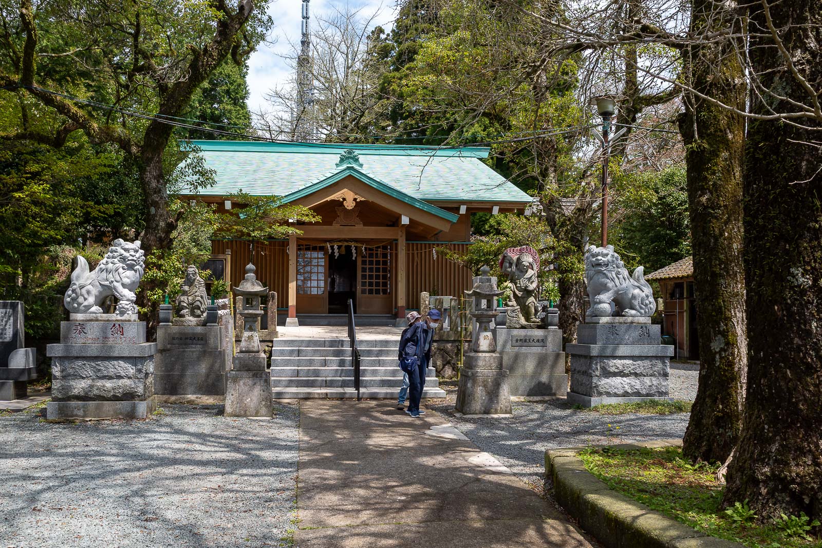
There is also a road to the top, so there is a shrine and plenty of vending machines. The cafe was closed however, possibly permanently.
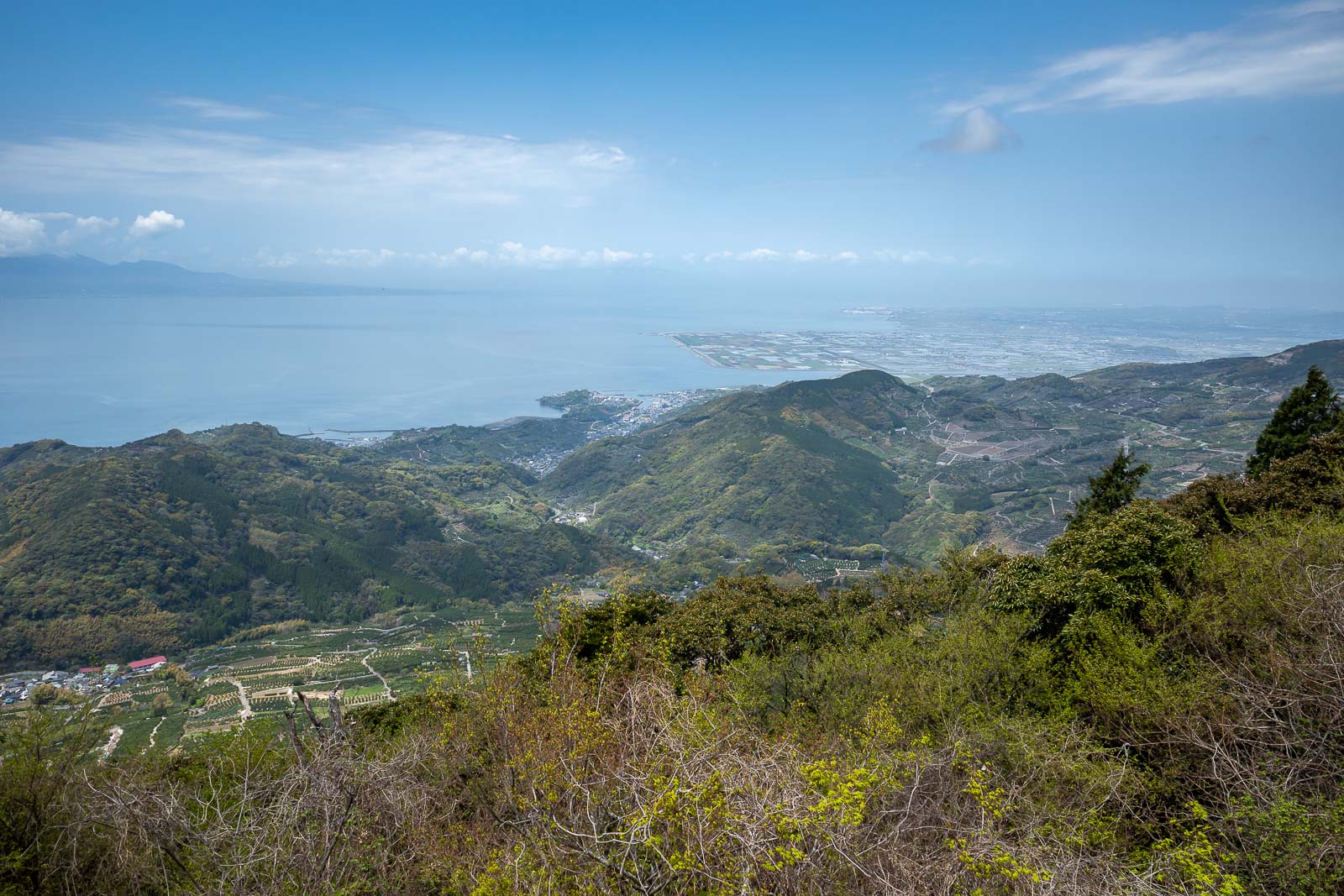
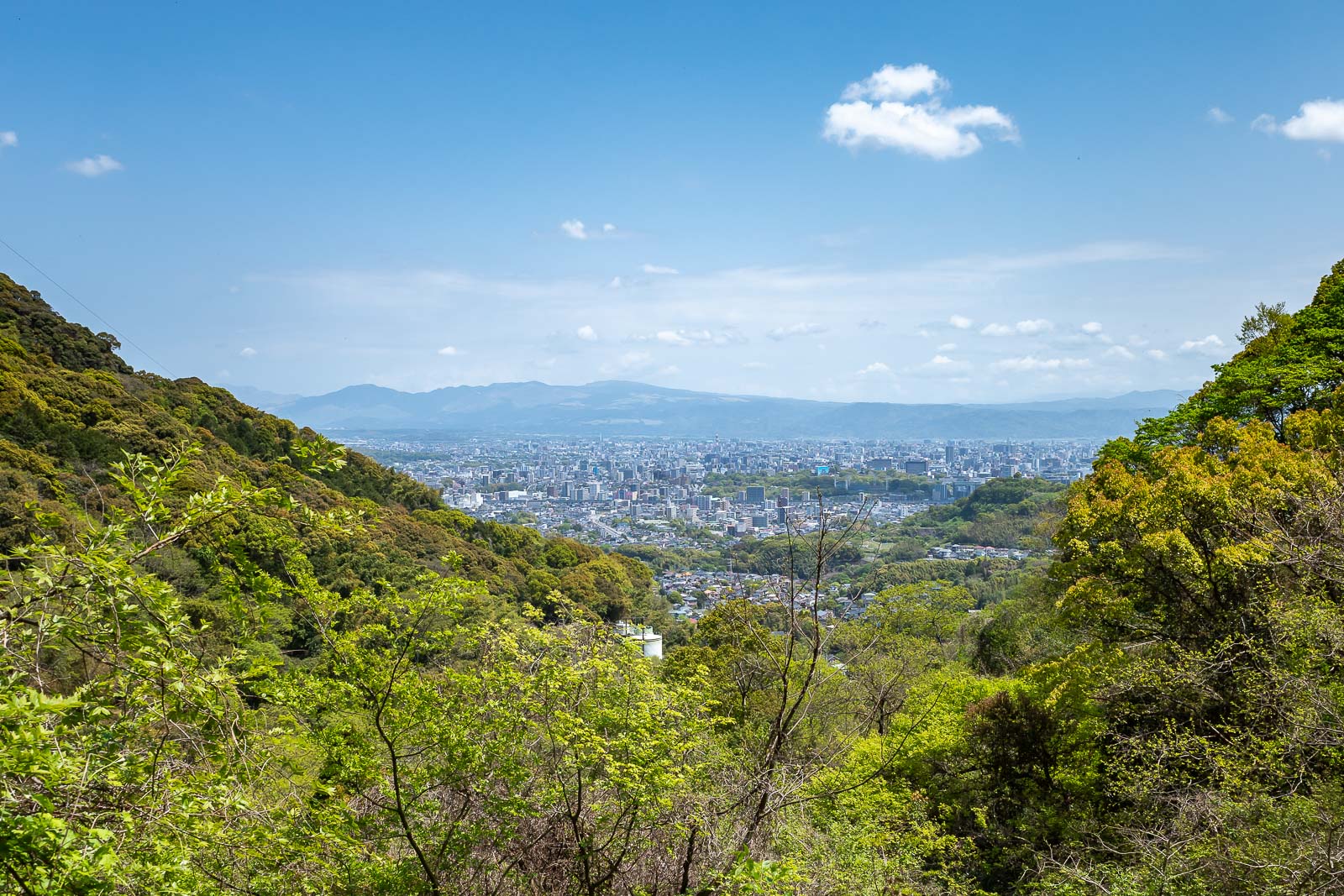
Best view from the top. There is a lot of reclaimed land in the bay.
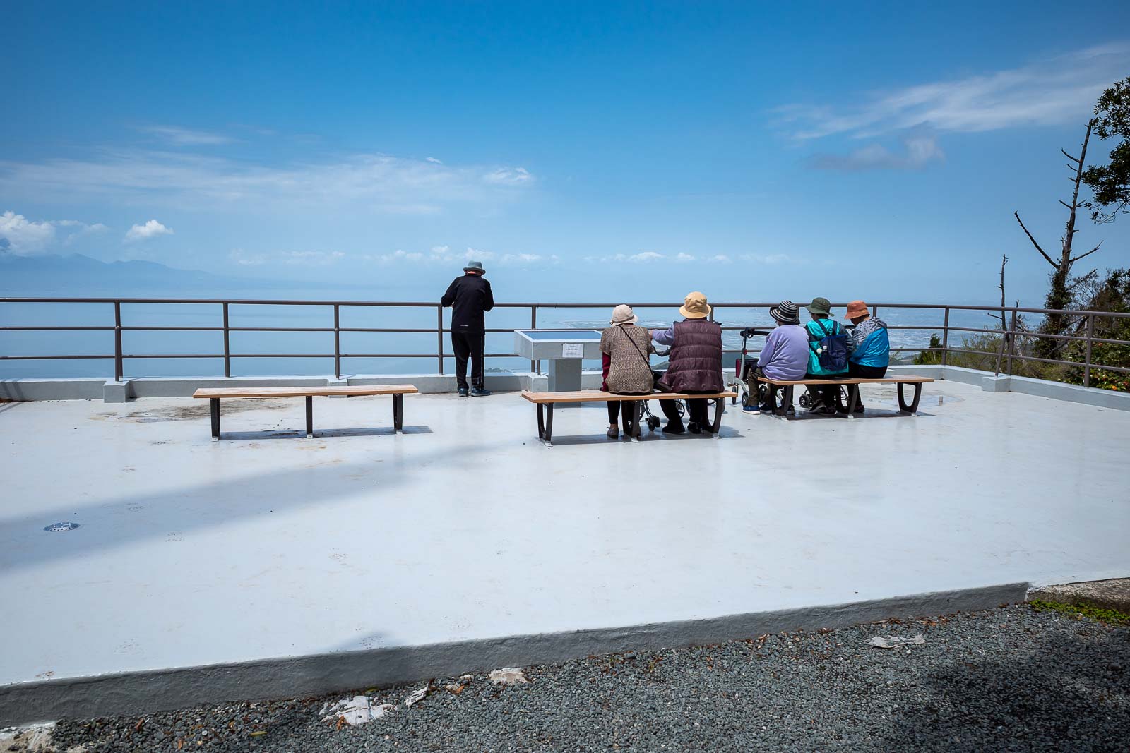
The road to the top means that there are a few mini buses full of old folks from a nursing home, who are here to wait and see what happens for a while. They were generally just talking shit about me.
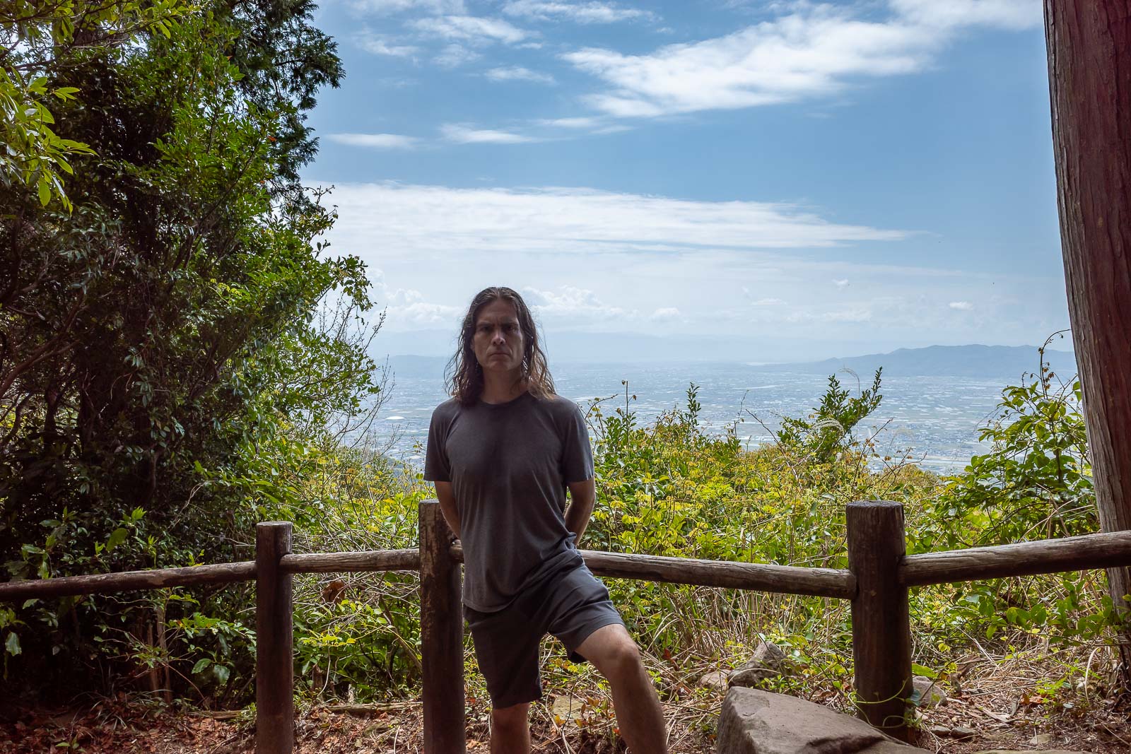
I could not find anywhere to do the proper stance, so this is the best I can manage. Nice man boobs (is it manboobs or man boobs?).
Almost back down to the upper car park.
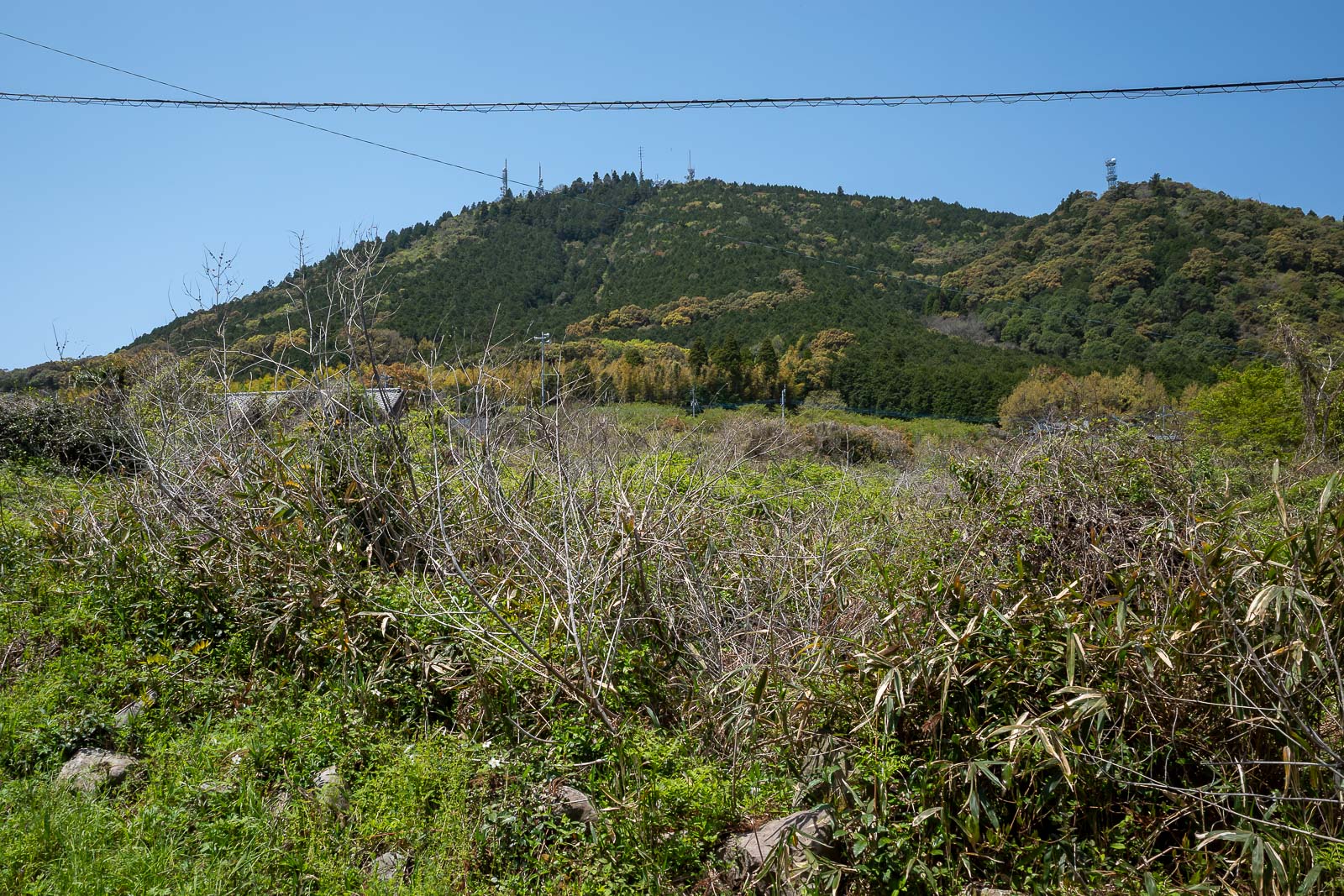
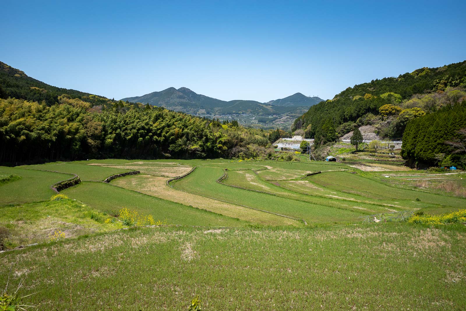
I decided to go down a different way, which had more roads, but was longer. There is Mount Kinbo, and it's many tv antennas.
My journey down took me through some terraced farming areas, generally with a bunch of fancy graves around them.
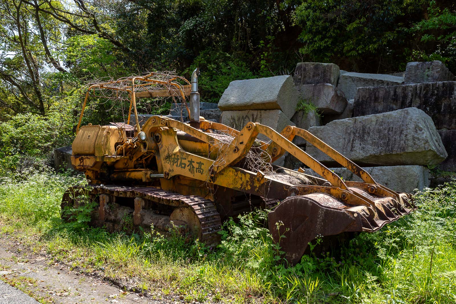
I rejoined some logging tracks to check out the abandoned bulldozers.
Nearly back down to the housing line... but it is a long way back to the tram still.
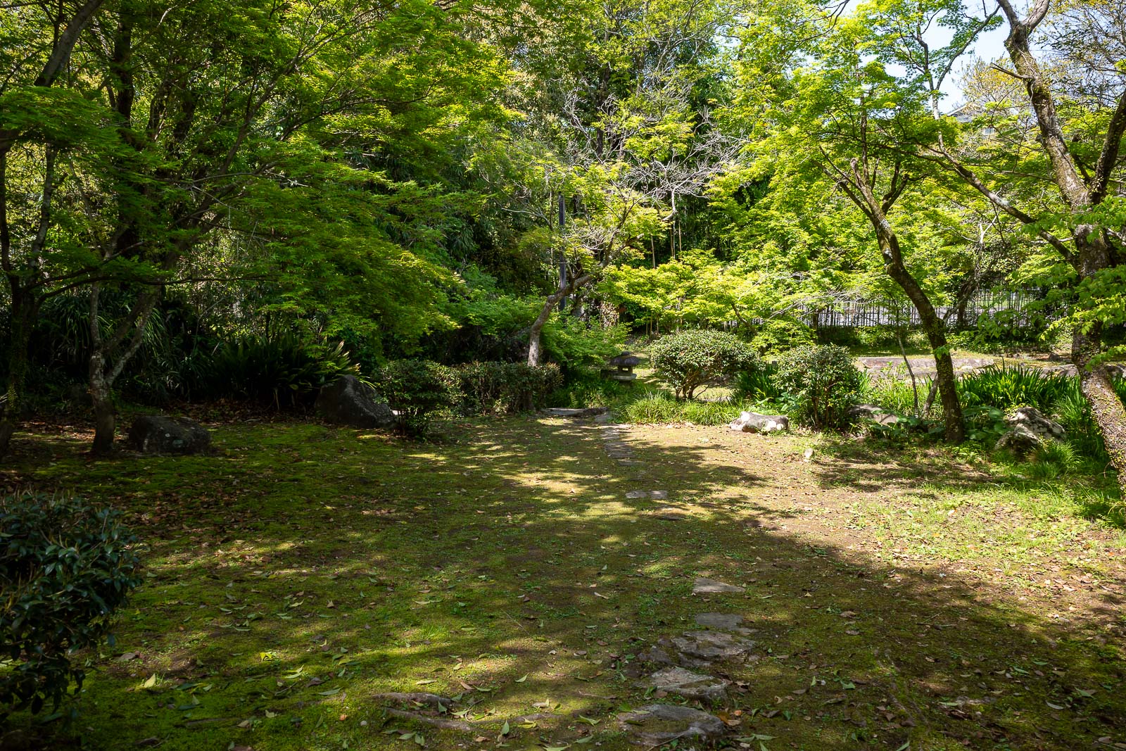
There are a few open gardens dotted along the road, they are nothing special, this is the best one I saw, perhaps it has nice blossoms and leaves at the right time of year.
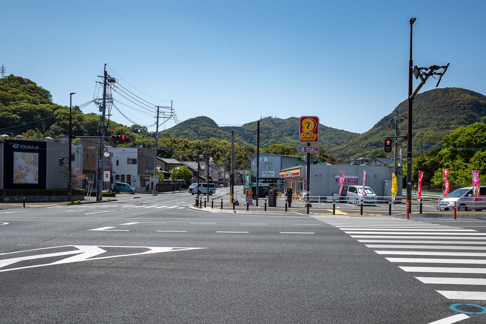
Looking back at the way I had come. That is the first convenience store option on my descent, the rare Daily Yamazaki. I did not go in.
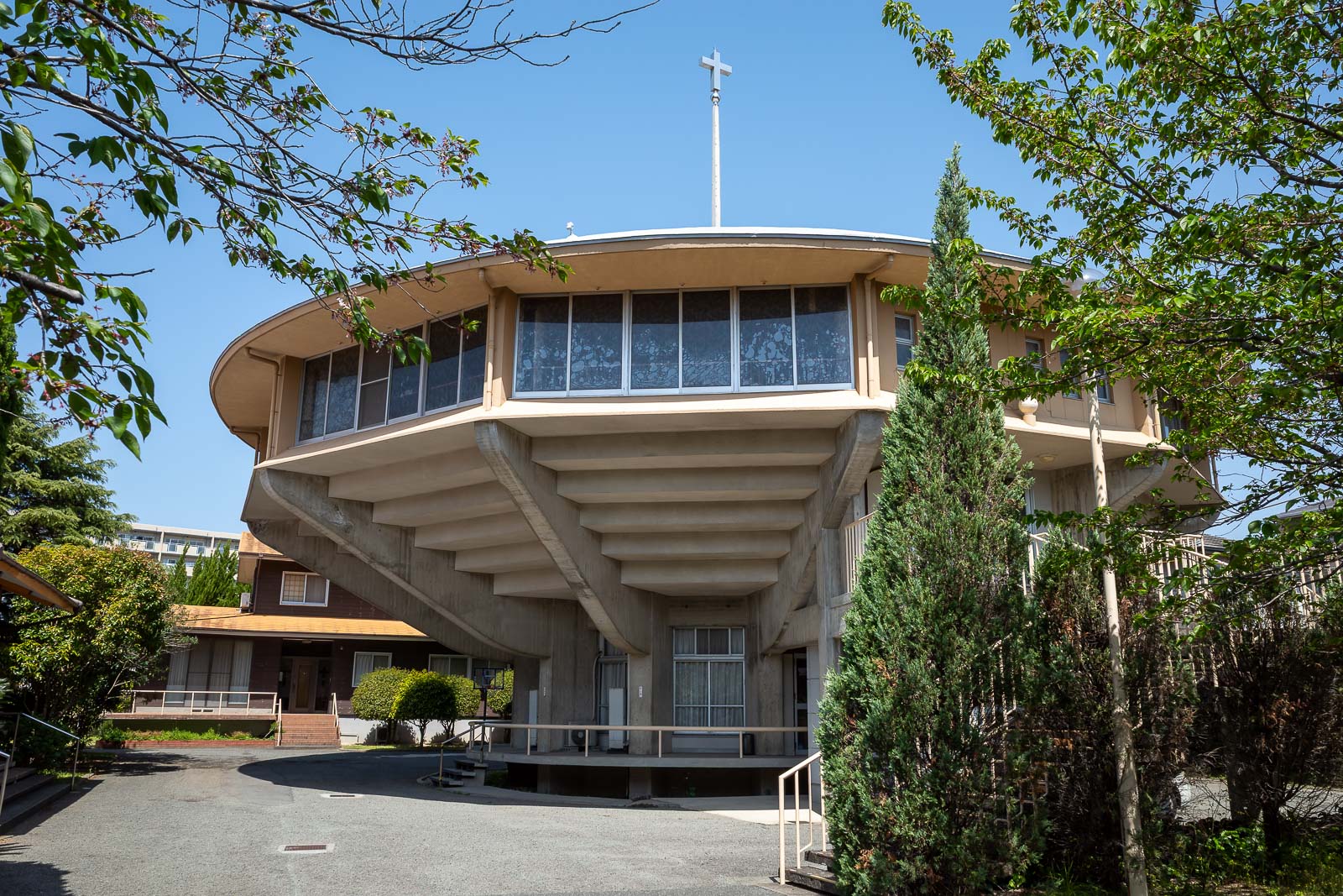
Instead I visited the mini Jesus stadium.
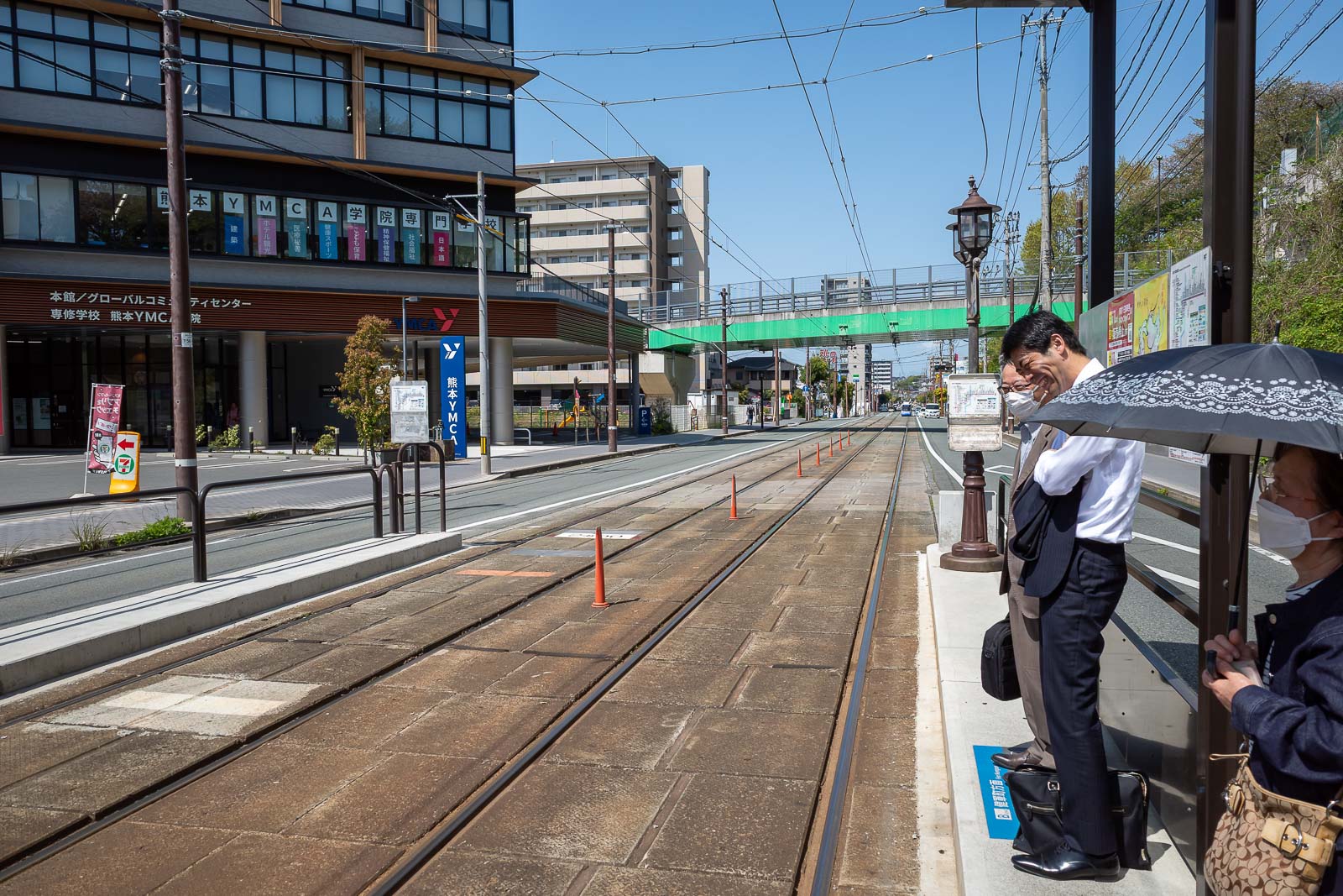
And then after longer than planned, I was back at the tram track, and here comes my tram.